M60 Motorway
Introduction
The photograph on this page of M60 Motorway by Gerald England as part of the Geograph project.
The Geograph project started in 2005 with the aim of publishing, organising and preserving representative images for every square kilometre of Great Britain, Ireland and the Isle of Man.

There are currently over 7.5m images from over 14,400 individuals and you can help contribute to the project by visiting https://www.geograph.org.uk
M60 Motorway
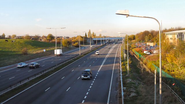
Image: © Gerald England Taken: 9 Nov 2009
Looking North from the Windmill Lane bridge. The bridge in view carries the line from Stockport to Guide Bridge.
Images are licensed for reuse under creativecommons.org/licenses/by-sa/2.0
Image Location
Latitude
53.450784
Longitude
-2.13533