Aerial view of Coombe Wood and plotlands to the south, Benfleet
Introduction
The photograph on this page of Aerial view of Coombe Wood and plotlands to the south, Benfleet by Edward Clack as part of the Geograph project.
The Geograph project started in 2005 with the aim of publishing, organising and preserving representative images for every square kilometre of Great Britain, Ireland and the Isle of Man.

There are currently over 7.5m images from over 14,400 individuals and you can help contribute to the project by visiting https://www.geograph.org.uk
Aerial view of Coombe Wood and plotlands to the south, Benfleet
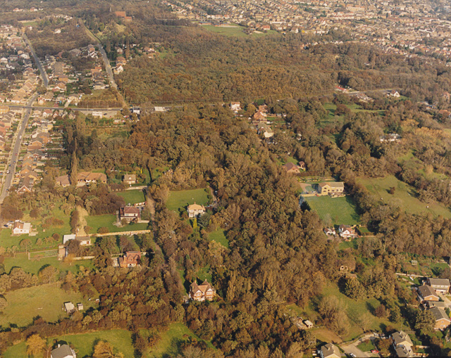
Image: © Edward Clack Taken: 16 Oct 1987
This photo shows some nice autumnal colours in October 1987. Coombe Wood is the woodland in the upper third of the photo. The road below it is the A13 (London Road) and the road to the right is Rhoda Road North (unmade). Much of the land below this is well-wooded plotland, mostly secondary woodland, though there are one or two patches thought to be ancient.
Images are licensed for reuse under creativecommons.org/licenses/by-sa/2.0
Image Location
Latitude
51.565026
Longitude
0.57108