Coast path between Port Isaac and Port Gaverne
Introduction
The photograph on this page of Coast path between Port Isaac and Port Gaverne by Philip Halling as part of the Geograph project.
The Geograph project started in 2005 with the aim of publishing, organising and preserving representative images for every square kilometre of Great Britain, Ireland and the Isle of Man.

There are currently over 7.5m images from over 14,400 individuals and you can help contribute to the project by visiting https://www.geograph.org.uk
Coast path between Port Isaac and Port Gaverne
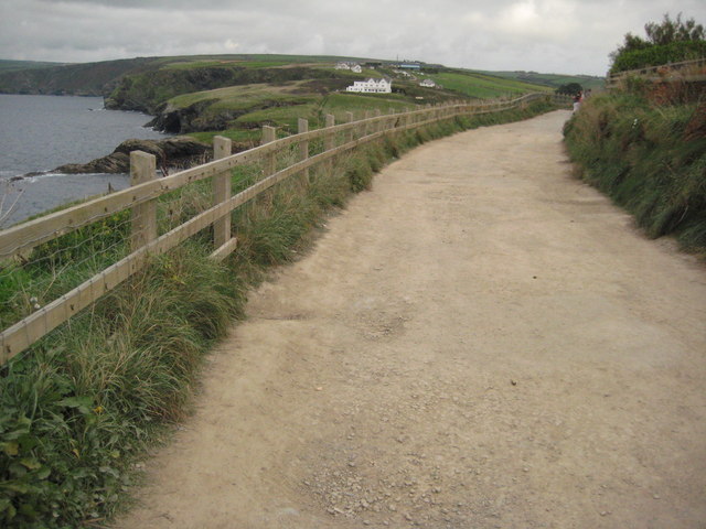
Image: © Philip Halling Taken: 30 Sep 2009
The South West Coast Path follows this track.
Images are licensed for reuse under creativecommons.org/licenses/by-sa/2.0
Image Location


Leaflet Map data © OpenStreetMap
Latitude
50.595218
Longitude
-4.829624