Cumbernauld, Antonine Wall
Introduction
The photograph on this page of Cumbernauld, Antonine Wall by Robert Murray as part of the Geograph project.
The Geograph project started in 2005 with the aim of publishing, organising and preserving representative images for every square kilometre of Great Britain, Ireland and the Isle of Man.

There are currently over 7.5m images from over 14,400 individuals and you can help contribute to the project by visiting https://www.geograph.org.uk
Cumbernauld, Antonine Wall
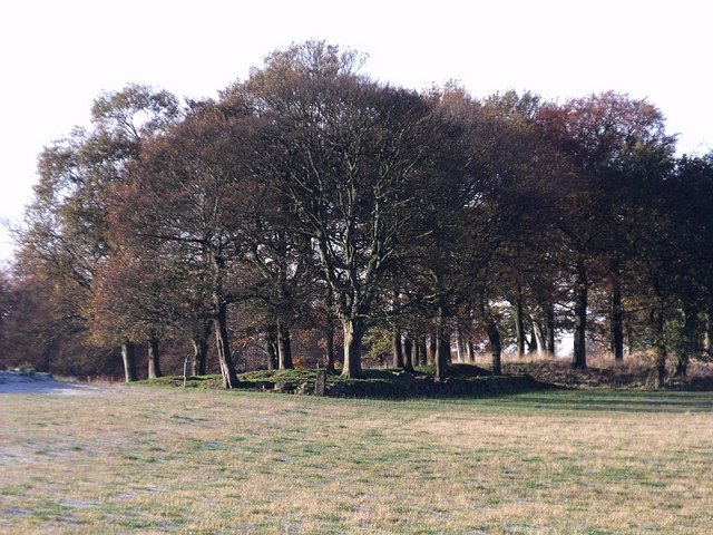
Image: © Robert Murray Taken: 9 Nov 2009
This stand of trees marks a break in the visible remains of the Antonine Wall at Wardpark near the village of Castlecary.
Images are licensed for reuse under creativecommons.org/licenses/by-sa/2.0
Image Location
Latitude
55.978477
Longitude
-3.959918