Monnow Way, Bettws, Newport
Introduction
The photograph on this page of Monnow Way, Bettws, Newport by Jaggery as part of the Geograph project.
The Geograph project started in 2005 with the aim of publishing, organising and preserving representative images for every square kilometre of Great Britain, Ireland and the Isle of Man.

There are currently over 7.5m images from over 14,400 individuals and you can help contribute to the project by visiting https://www.geograph.org.uk
Monnow Way, Bettws, Newport
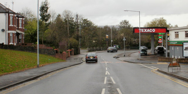
Image: © Jaggery Taken: 7 Nov 2009
Monnow Way is the main road around the Bettws estate. It forms a loop around the estate : the two ends of the loop meet at the junction with Bettws Lane. This view is of the "high-numbered" (houses) end of Monnow Way, heading north away from Bettws Lane. The turning for the Merry Miller pub http://www.geograph.org.uk/photo/1572669 is on the left, opposite Texaco.
Images are licensed for reuse under creativecommons.org/licenses/by-sa/2.0
Image Location
Latitude
51.608901
Longitude
-3.01947