Lambourne Road at Chigwell Row
Introduction
The photograph on this page of Lambourne Road at Chigwell Row by Robert Edwards as part of the Geograph project.
The Geograph project started in 2005 with the aim of publishing, organising and preserving representative images for every square kilometre of Great Britain, Ireland and the Isle of Man.

There are currently over 7.5m images from over 14,400 individuals and you can help contribute to the project by visiting https://www.geograph.org.uk
Lambourne Road at Chigwell Row
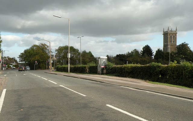
Image: © Robert Edwards Taken: 16 Oct 2009
On the right side of the picture stands All Saints church that was built in 1867. The road in the B173.
Images are licensed for reuse under creativecommons.org/licenses/by-sa/2.0
Image Location
Latitude
51.61947
Longitude
0.114318