Chantry Lane
Introduction
The photograph on this page of Chantry Lane by Terry Head as part of the Geograph project.
The Geograph project started in 2005 with the aim of publishing, organising and preserving representative images for every square kilometre of Great Britain, Ireland and the Isle of Man.

There are currently over 7.5m images from over 14,400 individuals and you can help contribute to the project by visiting https://www.geograph.org.uk
Chantry Lane
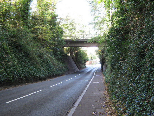
Image: © Terry Head Taken: 27 Oct 2009
Looking north towards Hollier's Hill. The bridge is the bypass road - King Offa Way.
Images are licensed for reuse under creativecommons.org/licenses/by-sa/2.0
Image Location
Latitude
50.846918
Longitude
0.477257