Laughton Road Bridge
Introduction
The photograph on this page of Laughton Road Bridge by Dave Taylor as part of the Geograph project.
The Geograph project started in 2005 with the aim of publishing, organising and preserving representative images for every square kilometre of Great Britain, Ireland and the Isle of Man.

There are currently over 7.5m images from over 14,400 individuals and you can help contribute to the project by visiting https://www.geograph.org.uk
Laughton Road Bridge
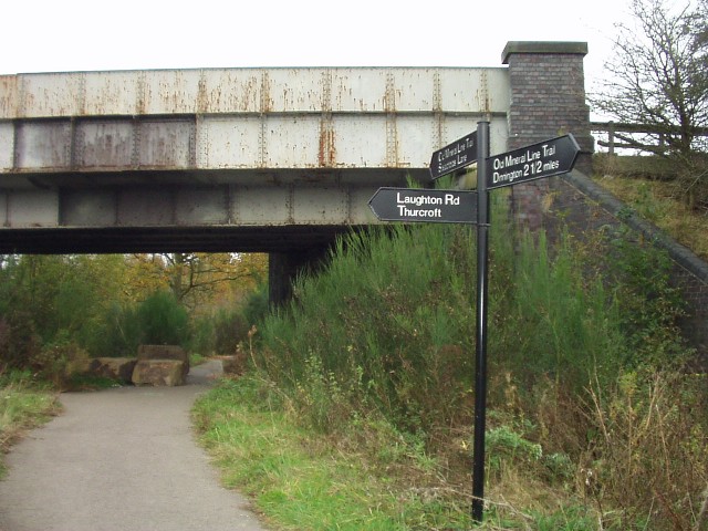
Image: © Dave Taylor Taken: 30 Oct 2009
The bridge carrying Laughton Road over the former Thurcroft Colliery railway which now forms "The Old Mineral Line Trail" path from Thurcroft to Dinnington.
Images are licensed for reuse under creativecommons.org/licenses/by-sa/2.0
Image Location
Latitude
53.390215
Longitude
-1.242726