Path from canal to Bettws
Introduction
The photograph on this page of Path from canal to Bettws by Jaggery as part of the Geograph project.
The Geograph project started in 2005 with the aim of publishing, organising and preserving representative images for every square kilometre of Great Britain, Ireland and the Isle of Man.

There are currently over 7.5m images from over 14,400 individuals and you can help contribute to the project by visiting https://www.geograph.org.uk
Path from canal to Bettws
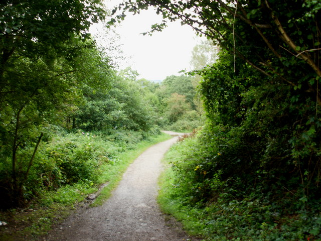
Image: © Jaggery Taken: 31 Aug 2009
The path heads away from Ty-ffynnon lock and bridge on the Monmouthshire & Brecon canal towards Mill Heath, Bettws.
Images are licensed for reuse under creativecommons.org/licenses/by-sa/2.0
Image Location
Latitude
51.614307
Longitude
-3.018147