Manor Farm, Main Street, North Leverton 1950
Introduction
The photograph on this page of Manor Farm, Main Street, North Leverton 1950 by John Mace as part of the Geograph project.
The Geograph project started in 2005 with the aim of publishing, organising and preserving representative images for every square kilometre of Great Britain, Ireland and the Isle of Man.

There are currently over 7.5m images from over 14,400 individuals and you can help contribute to the project by visiting https://www.geograph.org.uk
Manor Farm, Main Street, North Leverton 1950
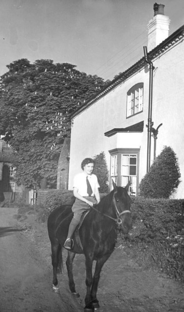
Image: © John Mace Taken: 15 Jul 1950
Now demolished, site now consists of many Barratt houses.
Images are licensed for reuse under creativecommons.org/licenses/by-sa/2.0
Image Location
Latitude
53.330284
Longitude
-0.823945