Under Pendle Under Pendle
Introduction
The photograph on this page of Under Pendle Under Pendle by Bob Jenkins as part of the Geograph project.
The Geograph project started in 2005 with the aim of publishing, organising and preserving representative images for every square kilometre of Great Britain, Ireland and the Isle of Man.

There are currently over 7.5m images from over 14,400 individuals and you can help contribute to the project by visiting https://www.geograph.org.uk
Under Pendle Under Pendle
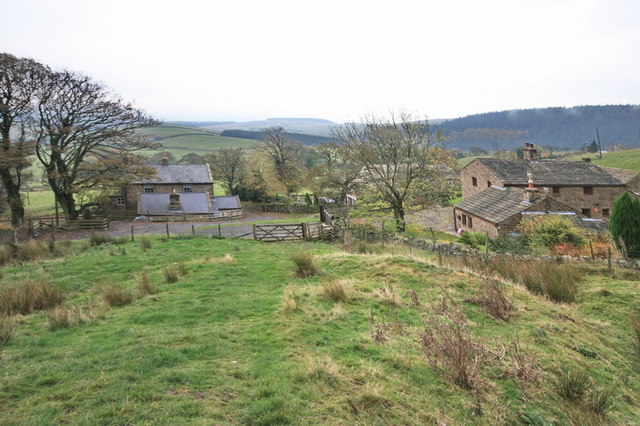
Image: © Bob Jenkins Taken: 21 Oct 2009
The collection of dwellings, mostly converted farm buildings, is called Under Pendle and is located under Pendle Hill- to the left and behind.
Images are licensed for reuse under creativecommons.org/licenses/by-sa/2.0
Image Location


Leaflet Map data © OpenStreetMap
Latitude
53.859467
Longitude
-2.291881