Denovan Road
Introduction
The photograph on this page of Denovan Road by Lairich Rig as part of the Geograph project.
The Geograph project started in 2005 with the aim of publishing, organising and preserving representative images for every square kilometre of Great Britain, Ireland and the Isle of Man.

There are currently over 7.5m images from over 14,400 individuals and you can help contribute to the project by visiting https://www.geograph.org.uk
Denovan Road
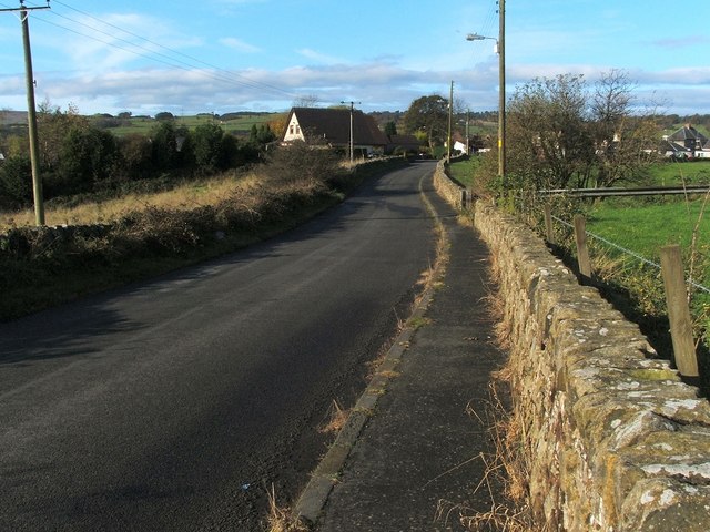
Image: © Lairich Rig Taken: 26 Oct 2009
The photo was taken from near Bankend Farm. The point where Denovan Road meets the A872 lies just beyond the house that is visible slightly left of centre. For a view back along the road from that junction, see Image
Images are licensed for reuse under creativecommons.org/licenses/by-sa/2.0
Image Location
Latitude
56.031579
Longitude
-3.91478