The Alsager Arms (closed)
Introduction
The photograph on this page of The Alsager Arms (closed) by Stephen Craven as part of the Geograph project.
The Geograph project started in 2005 with the aim of publishing, organising and preserving representative images for every square kilometre of Great Britain, Ireland and the Isle of Man.

There are currently over 7.5m images from over 14,400 individuals and you can help contribute to the project by visiting https://www.geograph.org.uk
The Alsager Arms (closed)
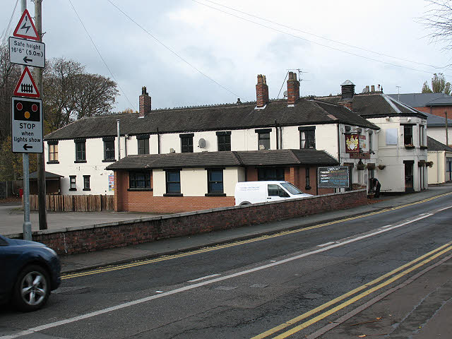
Image: © Stephen Craven Taken: 31 Oct 2009
The building is marked as an "inn" on old maps, so presumably has a long history, but was closed when photographed in late 2009.
Images are licensed for reuse under creativecommons.org/licenses/by-sa/2.0
Image Location
Latitude
53.093179
Longitude
-2.299955