Sharnal Street
Introduction
The photograph on this page of Sharnal Street by David Anstiss as part of the Geograph project.
The Geograph project started in 2005 with the aim of publishing, organising and preserving representative images for every square kilometre of Great Britain, Ireland and the Isle of Man.

There are currently over 7.5m images from over 14,400 individuals and you can help contribute to the project by visiting https://www.geograph.org.uk
Sharnal Street
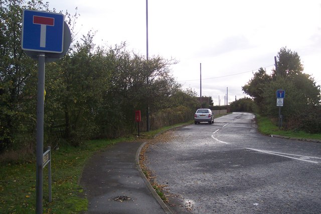
Image: © David Anstiss Taken: 1 Nov 2009
This small lane of houses leads from the A228 Ratcliffe Highway. It was once the route of the A228, but now the Highway has been diverted (right) around the houses.
Images are licensed for reuse under creativecommons.org/licenses/by-sa/2.0
Image Location
Latitude
51.443512
Longitude
0.57979