Sabin Drive, Weston under Wetherley
Introduction
The photograph on this page of Sabin Drive, Weston under Wetherley by Robin Stott as part of the Geograph project.
The Geograph project started in 2005 with the aim of publishing, organising and preserving representative images for every square kilometre of Great Britain, Ireland and the Isle of Man.

There are currently over 7.5m images from over 14,400 individuals and you can help contribute to the project by visiting https://www.geograph.org.uk
Sabin Drive, Weston under Wetherley
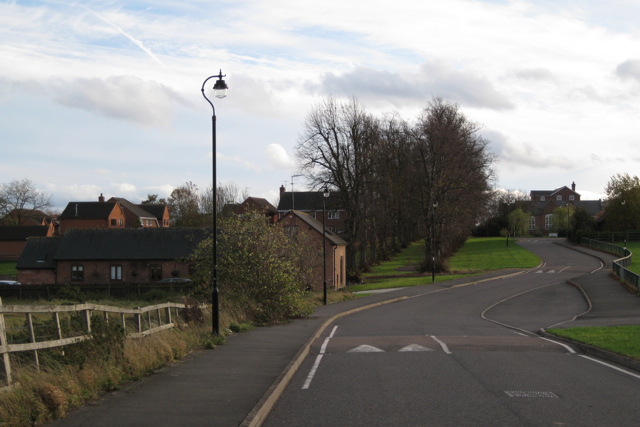
Image: © Robin Stott Taken: 1 Nov 2009
The avenue of limes led to the former Weston Hospital, closed and redeveloped for housing in the 1990s.
Images are licensed for reuse under creativecommons.org/licenses/by-sa/2.0
Image Location


Leaflet Map data © OpenStreetMap
Latitude
52.319688
Longitude
-1.464468