Chipperfield: Croft Meadow
Introduction
The photograph on this page of Chipperfield: Croft Meadow by Nigel Cox as part of the Geograph project.
The Geograph project started in 2005 with the aim of publishing, organising and preserving representative images for every square kilometre of Great Britain, Ireland and the Isle of Man.

There are currently over 7.5m images from over 14,400 individuals and you can help contribute to the project by visiting https://www.geograph.org.uk
Chipperfield: Croft Meadow
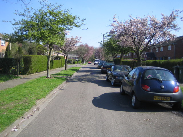
Image: © Nigel Cox Taken: 22 Apr 2006
A housing estate road on the north side of Chipperfield. The other roads in the estate are Croft End Road, Croft Close, Croft Field, and the estate is off Croft Lane.
Images are licensed for reuse under creativecommons.org/licenses/by-sa/2.0
Image Location
Latitude
51.708851
Longitude
-0.491888