London Plane, Holyhead Road
Introduction
The photograph on this page of London Plane, Holyhead Road by Anthony Vosper as part of the Geograph project.
The Geograph project started in 2005 with the aim of publishing, organising and preserving representative images for every square kilometre of Great Britain, Ireland and the Isle of Man.

There are currently over 7.5m images from over 14,400 individuals and you can help contribute to the project by visiting https://www.geograph.org.uk
London Plane, Holyhead Road
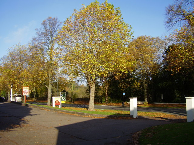
Image: © Anthony Vosper Taken: 28 Oct 2009
Taken from the Toll Gate car park this fine example is at least 70 years old. These trees can resist atmospheric pollution and are one of the most common trees planted in towns and cities.
Images are licensed for reuse under creativecommons.org/licenses/by-sa/2.0
Image Location
Latitude
52.419577
Longitude
-1.552807