Welches Meadow local nature reserve
Introduction
The photograph on this page of Welches Meadow local nature reserve by Robin Stott as part of the Geograph project.
The Geograph project started in 2005 with the aim of publishing, organising and preserving representative images for every square kilometre of Great Britain, Ireland and the Isle of Man.

There are currently over 7.5m images from over 14,400 individuals and you can help contribute to the project by visiting https://www.geograph.org.uk
Welches Meadow local nature reserve
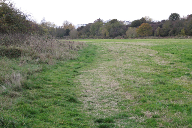
Image: © Robin Stott Taken: 31 Oct 2009
Rooftops above the trees are of properties in Newbold Terrace: Image The trees mark the line of the River Leam.
Images are licensed for reuse under creativecommons.org/licenses/by-sa/2.0
Image Location
Latitude
52.288475
Longitude
-1.523487