Chimney and Tower at Cane Hill Asylum
Introduction
The photograph on this page of Chimney and Tower at Cane Hill Asylum by Peter Trimming as part of the Geograph project.
The Geograph project started in 2005 with the aim of publishing, organising and preserving representative images for every square kilometre of Great Britain, Ireland and the Isle of Man.

There are currently over 7.5m images from over 14,400 individuals and you can help contribute to the project by visiting https://www.geograph.org.uk
Chimney and Tower at Cane Hill Asylum
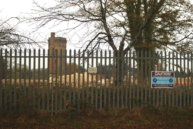
Image: © Peter Trimming Taken: 30 Oct 2009
Once surrounded by the intimidating Victorian blocks of the mental asylum; the chimney, from the laundry, and the water tower now stand in isolation.
Images are licensed for reuse under creativecommons.org/licenses/by-sa/2.0
Image Location


Leaflet Map data © OpenStreetMap
Latitude
51.313207
Longitude
-0.147895