Tavistock, Taylor Square
Introduction
The photograph on this page of Tavistock, Taylor Square by Ian James Cox as part of the Geograph project.
The Geograph project started in 2005 with the aim of publishing, organising and preserving representative images for every square kilometre of Great Britain, Ireland and the Isle of Man.

There are currently over 7.5m images from over 14,400 individuals and you can help contribute to the project by visiting https://www.geograph.org.uk
Tavistock, Taylor Square
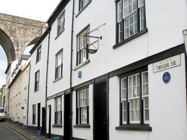
Image: © Ian James Cox Taken: 30 Sep 2009
John Taylor designed and built the Tavistock Canal, which runs to Morwellham Quay on the river Tamar. It was in use from 1817 to 1873 to transport copper from the mines on Dartmoor. (The canal today supplies water from the river Tavy to a hydro-electric power station). This is his house in Taylor Square. In the background is the viaduct for the now disused South Western Junction Railway, opened in 1890 and closed in 1968.
Images are licensed for reuse under creativecommons.org/licenses/by-sa/2.0
Image Location
Latitude
50.550917
Longitude
-4.14594