Wilbury Villas
Introduction
The photograph on this page of Wilbury Villas by Simon Carey as part of the Geograph project.
The Geograph project started in 2005 with the aim of publishing, organising and preserving representative images for every square kilometre of Great Britain, Ireland and the Isle of Man.

There are currently over 7.5m images from over 14,400 individuals and you can help contribute to the project by visiting https://www.geograph.org.uk
Wilbury Villas
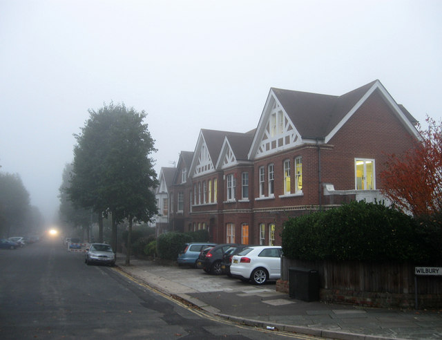
Image: © Simon Carey Taken: 28 Oct 2009
This is the northern end of the road which once formed a fiveway junction with Old Shoreham Road and The Upper Drive but has long since been blocked off. The house on the right has been extended across two to form an office housing the head office of Early Years nursery. Visibility towards the far end of the road has been reduced due to a sea fret that has moved in the hour or so before sunset.
Images are licensed for reuse under creativecommons.org/licenses/by-sa/2.0
Image Location
Latitude
50.835362
Longitude
-0.162331