World War II pillbox
Introduction
The photograph on this page of World War II pillbox by Rose and Trev Clough as part of the Geograph project.
The Geograph project started in 2005 with the aim of publishing, organising and preserving representative images for every square kilometre of Great Britain, Ireland and the Isle of Man.

There are currently over 7.5m images from over 14,400 individuals and you can help contribute to the project by visiting https://www.geograph.org.uk
World War II pillbox
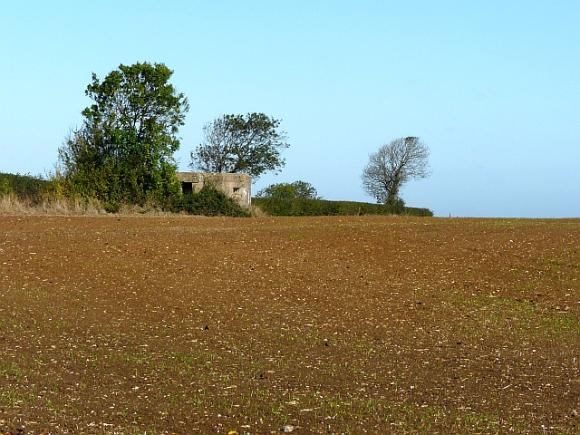
Image: © Rose and Trev Clough Taken: 12 Oct 2009
At the edge of a large cereal field alongside Cauldham Lane. The Channel Tunnel is directly beneath this part of the field.
Images are licensed for reuse under creativecommons.org/licenses/by-sa/2.0
Image Location
Latitude
51.106125
Longitude
1.205879