Hawkmoor Farm
Introduction
The photograph on this page of Hawkmoor Farm by Nigel Mykura as part of the Geograph project.
The Geograph project started in 2005 with the aim of publishing, organising and preserving representative images for every square kilometre of Great Britain, Ireland and the Isle of Man.

There are currently over 7.5m images from over 14,400 individuals and you can help contribute to the project by visiting https://www.geograph.org.uk
Hawkmoor Farm
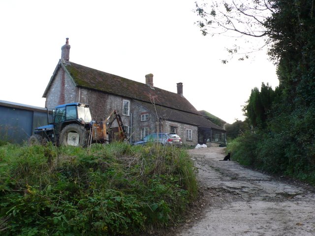
Image: © Nigel Mykura Taken: 25 Oct 2009
The farm is at the junction of Hawkmoor Hill and Berry Lane just west of Marshwood. At this point the road is part of The Liberty Trail long distance footpath which runs south from here up the hill to Lambert's Castle.
Images are licensed for reuse under creativecommons.org/licenses/by-sa/2.0
Image Location
Latitude
50.795238
Longitude
-2.8934