Permissive Multi-user Path for Victory Wood
Introduction
The photograph on this page of Permissive Multi-user Path for Victory Wood by David Anstiss as part of the Geograph project.
The Geograph project started in 2005 with the aim of publishing, organising and preserving representative images for every square kilometre of Great Britain, Ireland and the Isle of Man.

There are currently over 7.5m images from over 14,400 individuals and you can help contribute to the project by visiting https://www.geograph.org.uk
Permissive Multi-user Path for Victory Wood
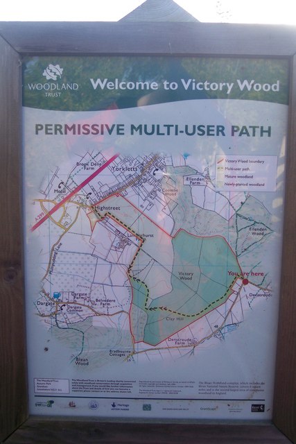
Image: © David Anstiss Taken: 25 Oct 2009
This information board is on the fence near Denestroude Lane. It shows the paths into the newly planted wood of the Woodland Trust.
Images are licensed for reuse under creativecommons.org/licenses/by-sa/2.0
Image Location
Latitude
51.317013
Longitude
1.014598