Dockholm and Erewash Mills
Introduction
The photograph on this page of Dockholm and Erewash Mills by David Lally as part of the Geograph project.
The Geograph project started in 2005 with the aim of publishing, organising and preserving representative images for every square kilometre of Great Britain, Ireland and the Isle of Man.

There are currently over 7.5m images from over 14,400 individuals and you can help contribute to the project by visiting https://www.geograph.org.uk
Dockholm and Erewash Mills
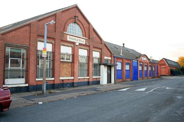
Image: © David Lally Taken: 11 Oct 2009
On Bennett Street, Long Eaton. Britannia Mills across the road is currently being demolished, these premises also now look empty, so may be suffering the same fate before too long.
Images are licensed for reuse under creativecommons.org/licenses/by-sa/2.0
Image Location
Latitude
52.905575
Longitude
-1.279124