Smiddy Haugh, Aberuthven
Introduction
The photograph on this page of Smiddy Haugh, Aberuthven by Maigheach-gheal as part of the Geograph project.
The Geograph project started in 2005 with the aim of publishing, organising and preserving representative images for every square kilometre of Great Britain, Ireland and the Isle of Man.

There are currently over 7.5m images from over 14,400 individuals and you can help contribute to the project by visiting https://www.geograph.org.uk
Smiddy Haugh, Aberuthven
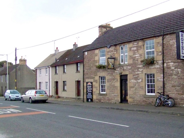
Image: © Maigheach-gheal Taken: 9 Oct 2009
Until the 19th century Aberuthven was "Smiddyhaugh", a blacksmith's forge by the bridge over the Ruthven - a convenient halt for travellers. This old resting place still survives in the form of The Smiddy Haugh Hotel.
Images are licensed for reuse under creativecommons.org/licenses/by-sa/2.0
Image Location
Latitude
56.319683
Longitude
-3.653884