Footpath and cycle track to the M48 bridge
Introduction
The photograph on this page of Footpath and cycle track to the M48 bridge by Ruth Sharville as part of the Geograph project.
The Geograph project started in 2005 with the aim of publishing, organising and preserving representative images for every square kilometre of Great Britain, Ireland and the Isle of Man.

There are currently over 7.5m images from over 14,400 individuals and you can help contribute to the project by visiting https://www.geograph.org.uk
Footpath and cycle track to the M48 bridge
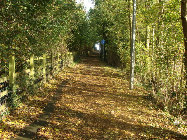
Image: © Ruth Sharville Taken: 27 Oct 2009
This leafy lane looks quiet enough, but if the picture had a soundtrack you would realise that you are a matter of metres from the M48. This path is the approach to the south side walkway across the Wye and Severn bridges.
Images are licensed for reuse under creativecommons.org/licenses/by-sa/2.0
Image Location
Latitude
51.61934
Longitude
-2.667986