Reigate Road
Introduction
The photograph on this page of Reigate Road by Simon Carey as part of the Geograph project.
The Geograph project started in 2005 with the aim of publishing, organising and preserving representative images for every square kilometre of Great Britain, Ireland and the Isle of Man.

There are currently over 7.5m images from over 14,400 individuals and you can help contribute to the project by visiting https://www.geograph.org.uk
Reigate Road
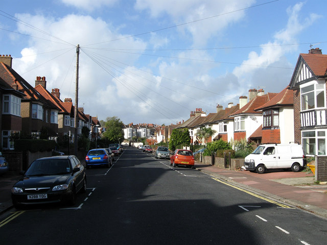
Image: © Simon Carey Taken: 25 Oct 2009
Residential street linking Millers Road to The Drove that was developed in the late 1880s. The view looks down towards the latter.
Images are licensed for reuse under creativecommons.org/licenses/by-sa/2.0
Image Location
Latitude
50.841573
Longitude
-0.156973