Preston Park Station
Introduction
The photograph on this page of Preston Park Station by Simon Carey as part of the Geograph project.
The Geograph project started in 2005 with the aim of publishing, organising and preserving representative images for every square kilometre of Great Britain, Ireland and the Isle of Man.

There are currently over 7.5m images from over 14,400 individuals and you can help contribute to the project by visiting https://www.geograph.org.uk
Preston Park Station
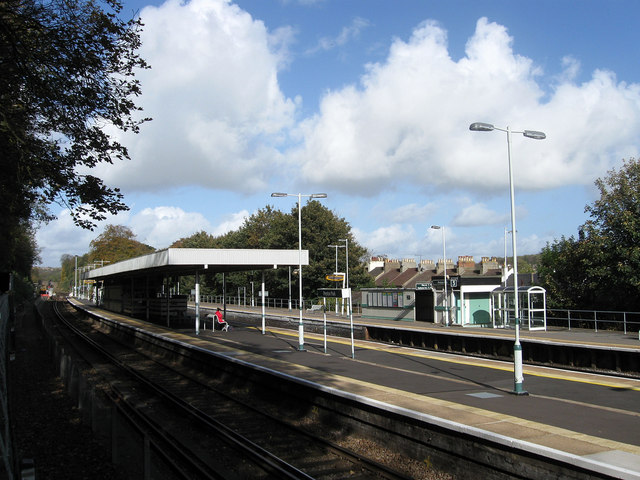
Image: © Simon Carey Taken: 25 Oct 2009
The first stop out of Brighton was only opened in 1869 as Preston to serve the recently constructed estates around the old village of Preston. Its current name dates from 1879 when the Cliftonville Spur was opened and the station rebuilt as two island platforms. This station building survived until the 1970s when it was pulled down and replaced by the current plain set up. Taken from the walkway that connects Woodside Avenue to the station via a subway.
Images are licensed for reuse under creativecommons.org/licenses/by-sa/2.0
Image Location
Latitude
50.846314
Longitude
-0.155366