Maldon Road
Introduction
The photograph on this page of Maldon Road by Simon Carey as part of the Geograph project.
The Geograph project started in 2005 with the aim of publishing, organising and preserving representative images for every square kilometre of Great Britain, Ireland and the Isle of Man.

There are currently over 7.5m images from over 14,400 individuals and you can help contribute to the project by visiting https://www.geograph.org.uk
Maldon Road
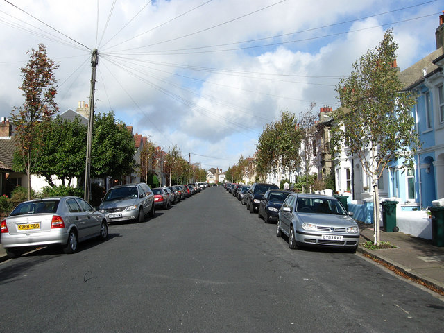
Image: © Simon Carey Taken: 25 Oct 2009
Residential street linking Matlock Road to Tivoli Crescent North that was developed during the early 1890s
Images are licensed for reuse under creativecommons.org/licenses/by-sa/2.0
Image Location
Latitude
50.844925
Longitude
-0.158546