Old mudslide south of Belle Vue Road
Introduction
The photograph on this page of Old mudslide south of Belle Vue Road by Jim Champion as part of the Geograph project.
The Geograph project started in 2005 with the aim of publishing, organising and preserving representative images for every square kilometre of Great Britain, Ireland and the Isle of Man.

There are currently over 7.5m images from over 14,400 individuals and you can help contribute to the project by visiting https://www.geograph.org.uk
Old mudslide south of Belle Vue Road
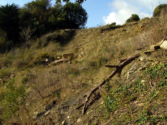
Image: © Jim Champion Taken: 25 Oct 2009
This upper part of the cliff is becoming re-established with vegetation after the April 2001 mudslide which carried the coast path and the ends of the domestic gardens down towards the sea in Durlston Bay. The South West Coast Path used to be along the clifftop here, now it is re-routed inland along Durlston Road.
Images are licensed for reuse under creativecommons.org/licenses/by-sa/2.0
Image Location
Latitude
50.601982
Longitude
-1.9536