Low Wood Road
Introduction
The photograph on this page of Low Wood Road by Alan Murray-Rust as part of the Geograph project.
The Geograph project started in 2005 with the aim of publishing, organising and preserving representative images for every square kilometre of Great Britain, Ireland and the Isle of Man.

There are currently over 7.5m images from over 14,400 individuals and you can help contribute to the project by visiting https://www.geograph.org.uk
Low Wood Road
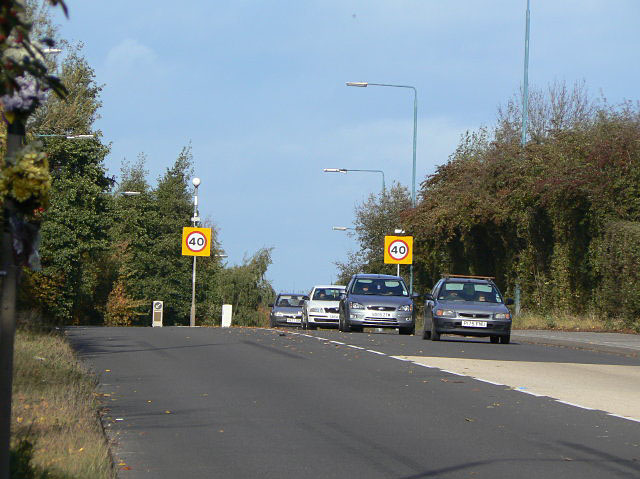
Image: © Alan Murray-Rust Taken: 25 Oct 2009
This was one of the last sections of the Nottingham outer orbital road to be completed, allowing significant traffic volumes to be routed away from the centre of Bulwell.
Images are licensed for reuse under creativecommons.org/licenses/by-sa/2.0
Image Location
Latitude
52.997853
Longitude
-1.216678