Ploughed Field near Poolestown, Dorset
Introduction
The photograph on this page of Ploughed Field near Poolestown, Dorset by Nigel Mykura as part of the Geograph project.
The Geograph project started in 2005 with the aim of publishing, organising and preserving representative images for every square kilometre of Great Britain, Ireland and the Isle of Man.

There are currently over 7.5m images from over 14,400 individuals and you can help contribute to the project by visiting https://www.geograph.org.uk
Ploughed Field near Poolestown, Dorset
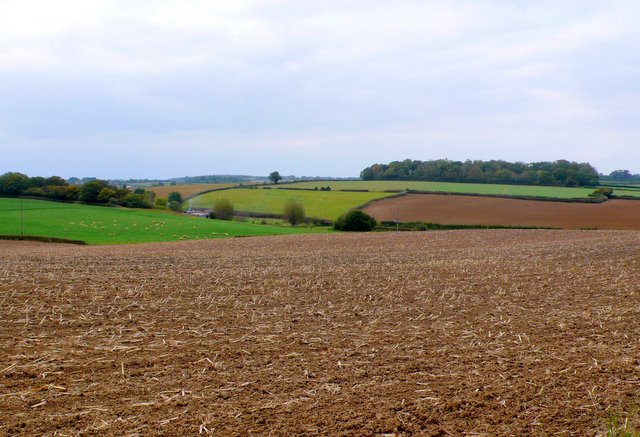
Image: © Nigel Mykura Taken: 18 Oct 2009
The A357 crosses the extreme SW corner of the square. This is the view NW across a recently ploughed field that had previously had maize in it, taken from close to the main road. Only the foreground is in ST7416. The smoke is rising from the houses at Deacon's Mill in ST7316 and the woods in the distance are Ten Acre Plantation in the same square.
Images are licensed for reuse under creativecommons.org/licenses/by-sa/2.0
Image Location
Latitude
50.943389
Longitude
-2.371158