New Plantation at Bellstane
Introduction
The photograph on this page of New Plantation at Bellstane by Robert Murray as part of the Geograph project.
The Geograph project started in 2005 with the aim of publishing, organising and preserving representative images for every square kilometre of Great Britain, Ireland and the Isle of Man.

There are currently over 7.5m images from over 14,400 individuals and you can help contribute to the project by visiting https://www.geograph.org.uk
New Plantation at Bellstane
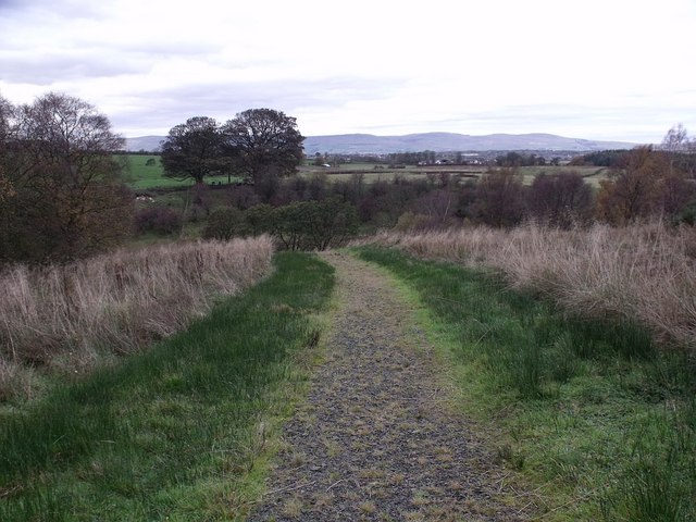
Image: © Robert Murray Taken: 26 Oct 2009
This path heads downhill into the valley of the Shank burn.
Images are licensed for reuse under creativecommons.org/licenses/by-sa/2.0
Image Location
Latitude
55.914081
Longitude
-3.996671