Playing Field, Mowden School
Introduction
The photograph on this page of Playing Field, Mowden School by Simon Carey as part of the Geograph project.
The Geograph project started in 2005 with the aim of publishing, organising and preserving representative images for every square kilometre of Great Britain, Ireland and the Isle of Man.

There are currently over 7.5m images from over 14,400 individuals and you can help contribute to the project by visiting https://www.geograph.org.uk
Playing Field, Mowden School
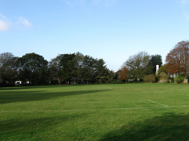
Image: © Simon Carey Taken: 25 Oct 2009
Small playing squeezed between a public footpath that links Kelly Road to The Droveway and Elrington Road which lies beyond the trees on the far side.
Images are licensed for reuse under creativecommons.org/licenses/by-sa/2.0
Image Location
Latitude
50.841022
Longitude
-0.161966