Enlarged field by Kenilworth Road
Introduction
The photograph on this page of Enlarged field by Kenilworth Road by Robin Stott as part of the Geograph project.
The Geograph project started in 2005 with the aim of publishing, organising and preserving representative images for every square kilometre of Great Britain, Ireland and the Isle of Man.

There are currently over 7.5m images from over 14,400 individuals and you can help contribute to the project by visiting https://www.geograph.org.uk
Enlarged field by Kenilworth Road
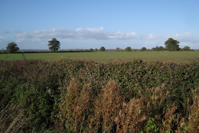
Image: © Robin Stott Taken: 24 Oct 2009
Field boundaries shown on the OS Explorer map have disappeared. White specks on the skyline are high-rise blocks in the centre of Coventry.
Images are licensed for reuse under creativecommons.org/licenses/by-sa/2.0
Image Location
Latitude
52.316302
Longitude
-1.512919