Roxburgh Croft greenspace
Introduction
The photograph on this page of Roxburgh Croft greenspace by Robin Stott as part of the Geograph project.
The Geograph project started in 2005 with the aim of publishing, organising and preserving representative images for every square kilometre of Great Britain, Ireland and the Isle of Man.

There are currently over 7.5m images from over 14,400 individuals and you can help contribute to the project by visiting https://www.geograph.org.uk
Roxburgh Croft greenspace
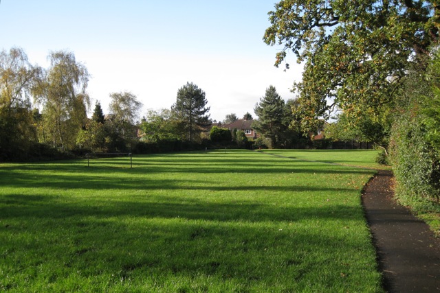
Image: © Robin Stott Taken: 24 Oct 2009
There is a play area out of shot left. The footpath runs between Stirling Avenue and Kelvin Road, so sees a lot of foot traffic going to and from Telford Primary School, Kelvin Road shops and bus stops.
Images are licensed for reuse under creativecommons.org/licenses/by-sa/2.0
Image Location
Latitude
52.312736
Longitude
-1.520293