Fields below Cleuchhead Farm
Introduction
The photograph on this page of Fields below Cleuchhead Farm by Oliver Dixon as part of the Geograph project.
The Geograph project started in 2005 with the aim of publishing, organising and preserving representative images for every square kilometre of Great Britain, Ireland and the Isle of Man.

There are currently over 7.5m images from over 14,400 individuals and you can help contribute to the project by visiting https://www.geograph.org.uk
Fields below Cleuchhead Farm
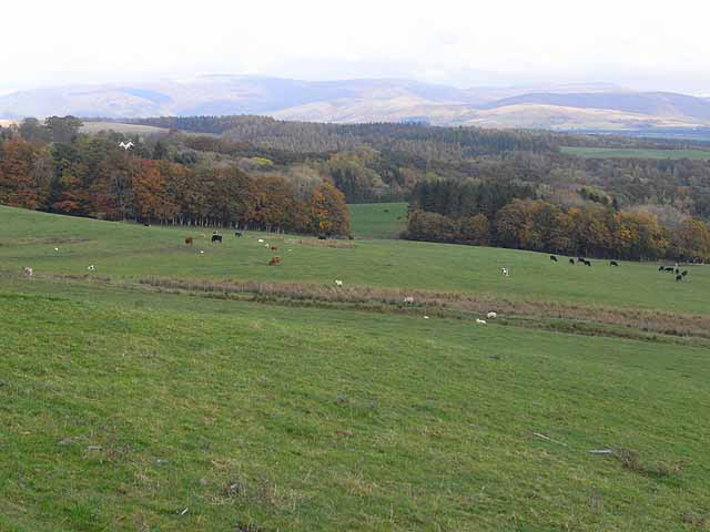
Image: © Oliver Dixon Taken: 22 Oct 2009
The extensive woods in the middle distance are those surrounding Drumlanrig Castle Image Beyond the woods runs the River Nith, this side of the distant hills.
Images are licensed for reuse under creativecommons.org/licenses/by-sa/2.0
Image Location
Latitude
55.280929
Longitude
-3.848399