Sherborne: Horsecastles becomes Half Moon Street
Introduction
The photograph on this page of Sherborne: Horsecastles becomes Half Moon Street by Chris Downer as part of the Geograph project.
The Geograph project started in 2005 with the aim of publishing, organising and preserving representative images for every square kilometre of Great Britain, Ireland and the Isle of Man.

There are currently over 7.5m images from over 14,400 individuals and you can help contribute to the project by visiting https://www.geograph.org.uk
Sherborne: Horsecastles becomes Half Moon Street
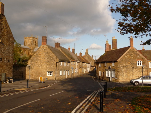
Image: © Chris Downer Taken: 24 Oct 2009
Looking at the eastern end of Horsecastles, which becomes Half Moon Street beyond the crossroads. Lower Acreman Street crosses left to right. The beautiful tower of the Image makes an appearance on the far left, bathed in sunshine against a slightly grey sky.
Images are licensed for reuse under creativecommons.org/licenses/by-sa/2.0
Image Location
Latitude
50.945527
Longitude
-2.51793