Near Roath Brook
Introduction
The photograph on this page of Near Roath Brook by Gareth James as part of the Geograph project.
The Geograph project started in 2005 with the aim of publishing, organising and preserving representative images for every square kilometre of Great Britain, Ireland and the Isle of Man.

There are currently over 7.5m images from over 14,400 individuals and you can help contribute to the project by visiting https://www.geograph.org.uk
Near Roath Brook
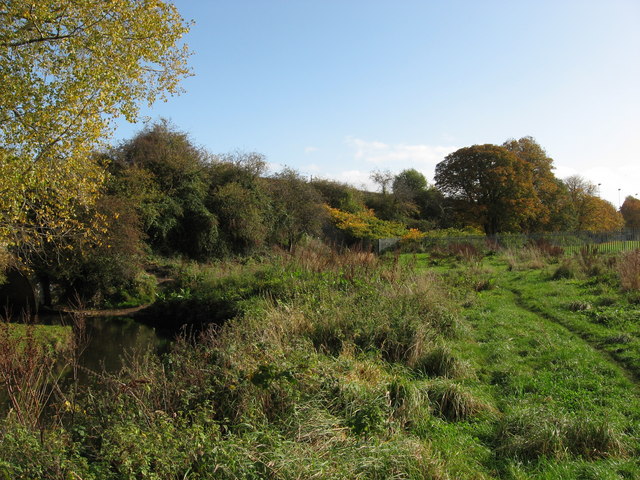
Image: © Gareth James Taken: 24 Oct 2009
Looking from beside Roath Brook towards Newport Road. The embankment that carried the Taff Vale Railway's Roath Branch is on the left.
Images are licensed for reuse under creativecommons.org/licenses/by-sa/2.0
Image Location
Latitude
51.493585
Longitude
-3.150283