Southern half of Strathearn Road
Introduction
The photograph on this page of Southern half of Strathearn Road by Robin Stott as part of the Geograph project.
The Geograph project started in 2005 with the aim of publishing, organising and preserving representative images for every square kilometre of Great Britain, Ireland and the Isle of Man.

There are currently over 7.5m images from over 14,400 individuals and you can help contribute to the project by visiting https://www.geograph.org.uk
Southern half of Strathearn Road
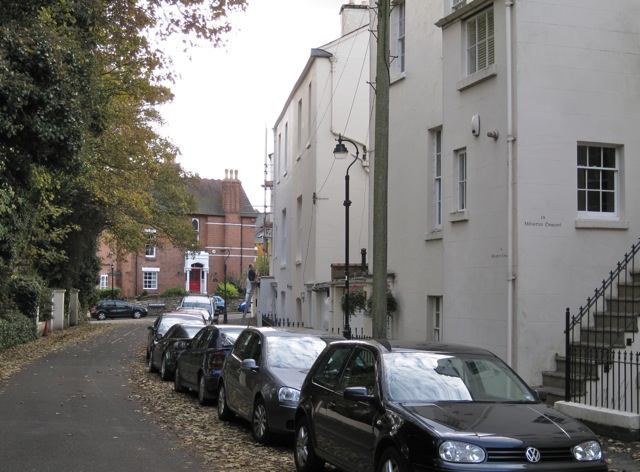
Image: © Robin Stott Taken: 23 Oct 2009
Looking towards Beauchamp Hill [pronounced Beecham]. The buildings on the right are the backs of houses in Milverton Crescent Image The northern half of Strathearn Road is later and quite different Image
Images are licensed for reuse under creativecommons.org/licenses/by-sa/2.0
Image Location


Leaflet Map data © OpenStreetMap
Latitude
52.293051
Longitude
-1.543965