North Cotswolds farmland
Introduction
The photograph on this page of North Cotswolds farmland by Michael Dibb as part of the Geograph project.
The Geograph project started in 2005 with the aim of publishing, organising and preserving representative images for every square kilometre of Great Britain, Ireland and the Isle of Man.

There are currently over 7.5m images from over 14,400 individuals and you can help contribute to the project by visiting https://www.geograph.org.uk
North Cotswolds farmland
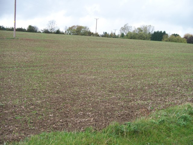
Image: © Michael Dibb Taken: 21 Oct 2009
The line of the path is past the middle electricity distribution pole to the hedge in the background. The line of the hedge is the county boundary, Warwickshire this side, Gloucestershire the other side. Once again, the footpath has not been reinstated.
Images are licensed for reuse under creativecommons.org/licenses/by-sa/2.0
Image Location
Latitude
52.05033
Longitude
-1.689202