Colliers Wood car park
Introduction
The photograph on this page of Colliers Wood car park by Trevor Rickard as part of the Geograph project.
The Geograph project started in 2005 with the aim of publishing, organising and preserving representative images for every square kilometre of Great Britain, Ireland and the Isle of Man.

There are currently over 7.5m images from over 14,400 individuals and you can help contribute to the project by visiting https://www.geograph.org.uk
Colliers Wood car park
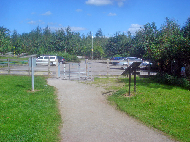
Image: © Trevor Rickard Taken: 10 Sep 2009
Small parking area on the northern boundary of the Colliers Wood site, which is now an attractive country park. The area has been mined for coal for at least 700 years. Within a couple of miles of here over 200 shafts have been sunk. Colliers Wood and the surrounding area was once Moorgreen Colliery, opened by Barber, Walker & Co in 1865. Coal production from the three shafts began in 1871. At its peak the colliery produced over a million tons of coal in 1963. From that point, production gradually decreased and the pit eventually closed in 1985 when the seams were exhausted. Following landscaping, the land was converted into an industrial estate and the country park.
Images are licensed for reuse under creativecommons.org/licenses/by-sa/2.0
Image Location
Latitude
53.027764
Longitude
-1.284276