Meadow at Whiddon Down
Introduction
The photograph on this page of Meadow at Whiddon Down by Derek Harper as part of the Geograph project.
The Geograph project started in 2005 with the aim of publishing, organising and preserving representative images for every square kilometre of Great Britain, Ireland and the Isle of Man.

There are currently over 7.5m images from over 14,400 individuals and you can help contribute to the project by visiting https://www.geograph.org.uk
Meadow at Whiddon Down
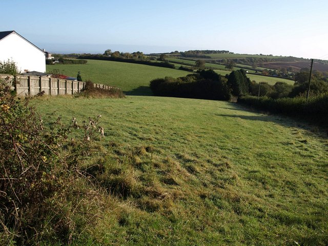
Image: © Derek Harper Taken: 17 Oct 2009
This narrow strip is just the western corner of a quite large field from which bites have been taken to accommodate housing plots, for example the two on the left. On the right it is bordered by the Fingle Brook which has its source here. beyond the further house on the left it borders the A382.
Images are licensed for reuse under creativecommons.org/licenses/by-sa/2.0
Image Location
Latitude
50.716542
Longitude
-3.855154