Toddington New Town
Introduction
The photograph on this page of Toddington New Town by Jonathan Billinger as part of the Geograph project.
The Geograph project started in 2005 with the aim of publishing, organising and preserving representative images for every square kilometre of Great Britain, Ireland and the Isle of Man.

There are currently over 7.5m images from over 14,400 individuals and you can help contribute to the project by visiting https://www.geograph.org.uk
Toddington New Town
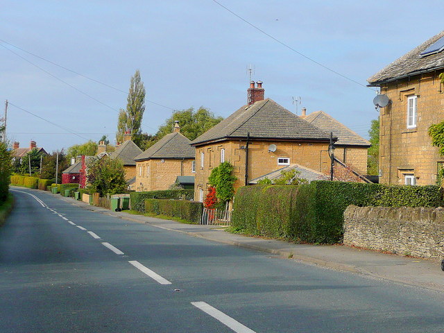
Image: © Jonathan Billinger Taken: 19 Oct 2009
The semi-detached stone cottages were presumably part of a grand design by a lord-of-the-manor in the 19th century. These houses are today a distinctive sight on the B4077 at Toddington.
Images are licensed for reuse under creativecommons.org/licenses/by-sa/2.0
Image Location


Leaflet Map data © OpenStreetMap
Latitude
51.990574
Longitude
-1.935148