St George's church, New Thundersley
Introduction
The photograph on this page of St George's church, New Thundersley by Edward Clack as part of the Geograph project.
The Geograph project started in 2005 with the aim of publishing, organising and preserving representative images for every square kilometre of Great Britain, Ireland and the Isle of Man.

There are currently over 7.5m images from over 14,400 individuals and you can help contribute to the project by visiting https://www.geograph.org.uk
St George's church, New Thundersley
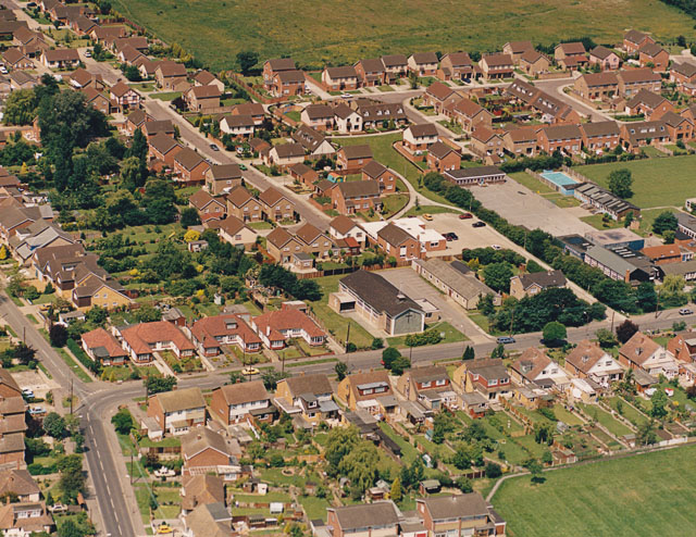
Image: © Edward Clack Taken: 17 Jun 1987
This aerial photo was taken in 1987, twenty-two years before the more recent one of the church, taken in 2009 Image The road in front of the church is Rushbottom Lane. The buildings just visible to the right are of Woodham Lea Primary School.
Images are licensed for reuse under creativecommons.org/licenses/by-sa/2.0
Image Location
Latitude
51.57038
Longitude
0.548292