New Thundersley: Rushbottom Lane and Montgomerie School
Introduction
The photograph on this page of New Thundersley: Rushbottom Lane and Montgomerie School by Edward Clack as part of the Geograph project.
The Geograph project started in 2005 with the aim of publishing, organising and preserving representative images for every square kilometre of Great Britain, Ireland and the Isle of Man.

There are currently over 7.5m images from over 14,400 individuals and you can help contribute to the project by visiting https://www.geograph.org.uk
New Thundersley: Rushbottom Lane and Montgomerie School
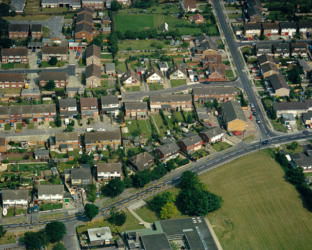
Image: © Edward Clack Taken: 13 Jun 1988
An aerial photograph taken by Edward Clack. Rushbottom Lane is the road along the lower half, with Montgomerie Primary School centre bottom.
Images are licensed for reuse under creativecommons.org/licenses/by-sa/2.0
Image Location
Latitude
51.573722
Longitude
0.547613