Start of forestry track to Castle Dow
Introduction
The photograph on this page of Start of forestry track to Castle Dow by Russel Wills as part of the Geograph project.
The Geograph project started in 2005 with the aim of publishing, organising and preserving representative images for every square kilometre of Great Britain, Ireland and the Isle of Man.

There are currently over 7.5m images from over 14,400 individuals and you can help contribute to the project by visiting https://www.geograph.org.uk
Start of forestry track to Castle Dow
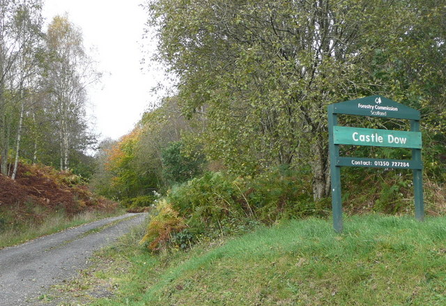
Image: © Russel Wills Taken: 20 Oct 2009
Parking is available here and a few metres up the track.
Images are licensed for reuse under creativecommons.org/licenses/by-sa/2.0
Image Location
Latitude
56.650495
Longitude
-3.74052