Downs Road, Coulsdon
Introduction
The photograph on this page of Downs Road, Coulsdon by Dr Neil Clifton as part of the Geograph project.
The Geograph project started in 2005 with the aim of publishing, organising and preserving representative images for every square kilometre of Great Britain, Ireland and the Isle of Man.

There are currently over 7.5m images from over 14,400 individuals and you can help contribute to the project by visiting https://www.geograph.org.uk
Downs Road, Coulsdon
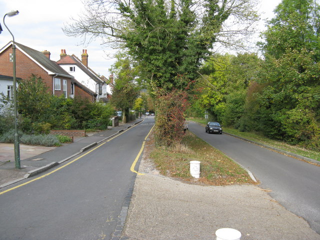
Image: © Dr Neil Clifton Taken: 18 Oct 2009
Looking north. In spite of appearances, this is not a dual-carriageway, but two separate roads, both bi-directional. The left-hand road is Downs Road, and serves the houses. The other road is Ditches Lane, leading to Farthing Downs and Chaldon.
Images are licensed for reuse under creativecommons.org/licenses/by-sa/2.0
Image Location
Latitude
51.31347
Longitude
-0.136118