Sabden Village near Clitheroe
Introduction
The photograph on this page of Sabden Village near Clitheroe by mark belshaw as part of the Geograph project.
The Geograph project started in 2005 with the aim of publishing, organising and preserving representative images for every square kilometre of Great Britain, Ireland and the Isle of Man.

There are currently over 7.5m images from over 14,400 individuals and you can help contribute to the project by visiting https://www.geograph.org.uk
Sabden Village near Clitheroe
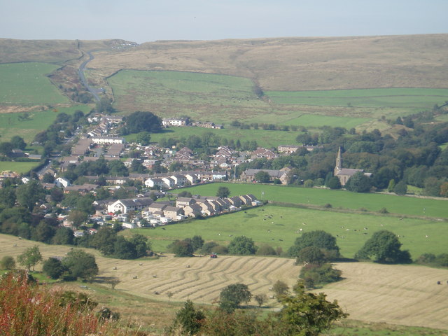
Image: © mark belshaw Taken: 12 Sep 2009
The village of Sabden as seen from Back Lane. The road out of the village travels onto Clitheroe and is known locally as the "Nick o Pendle" as it traverses the spine of the famous hill. This is the heart of Lancashire Witch Country.
Images are licensed for reuse under creativecommons.org/licenses/by-sa/2.0
Image Location
Latitude
53.835442
Longitude
-2.336692